Wildcoast
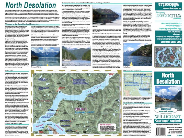
234 North Desolation Kayaking and Boating Map
234 North Desolation Kayaking and Boating Map
Couldn't load pickup availability
About this region: This is the area for any extended visit through the Desolation Sound region taking in locations such as Toba Inlet, the Redonda Islands, Teakerne Arm and points as distant as Raza Island, all accessible locations before crossing the region’s major tidal rapids. It is a mix of meandering passages, mountainous vistas, isolated inlets and picturesque pockets including trails to lakes, waterfalls and even the occasional sandy beach (though don’t expect many of those).
What's included: One side is the large, regional map showing features and attractions in unrivalled detail, while the opposite side includes logistical and trip planning information to make an accompanying guide book unnecessary.
The mapsheet construction: This mapsheet uses the latest printing technology to provide a high-quality printed image on waterproof/durable synthetic polymer stock. The stock is is significantly thicker than most papers at 10 mil weight, making it extremely durable.
Share


-

Expert Kayaking Support
-

30-Day Return Policy
-

Shipping Across Canada & US
-

Eco-Friendly Packaging


